SOS.city · Standard of Survival · City Atlas
Know the rule before you need it.
A survival atlas for every city, made by the people for the people. Field guides and survival kits built from official sources: everything you’d look up online, on your own phone and drive, for the day the grid goes down.
When the towers go down, your phone still knows.
An offline survival app, all of English Wikipedia, medical encyclopedias, Army and FEMA manuals, maps of your state and a small AI assistant that runs with no connection. On your own drive, in your own hands.
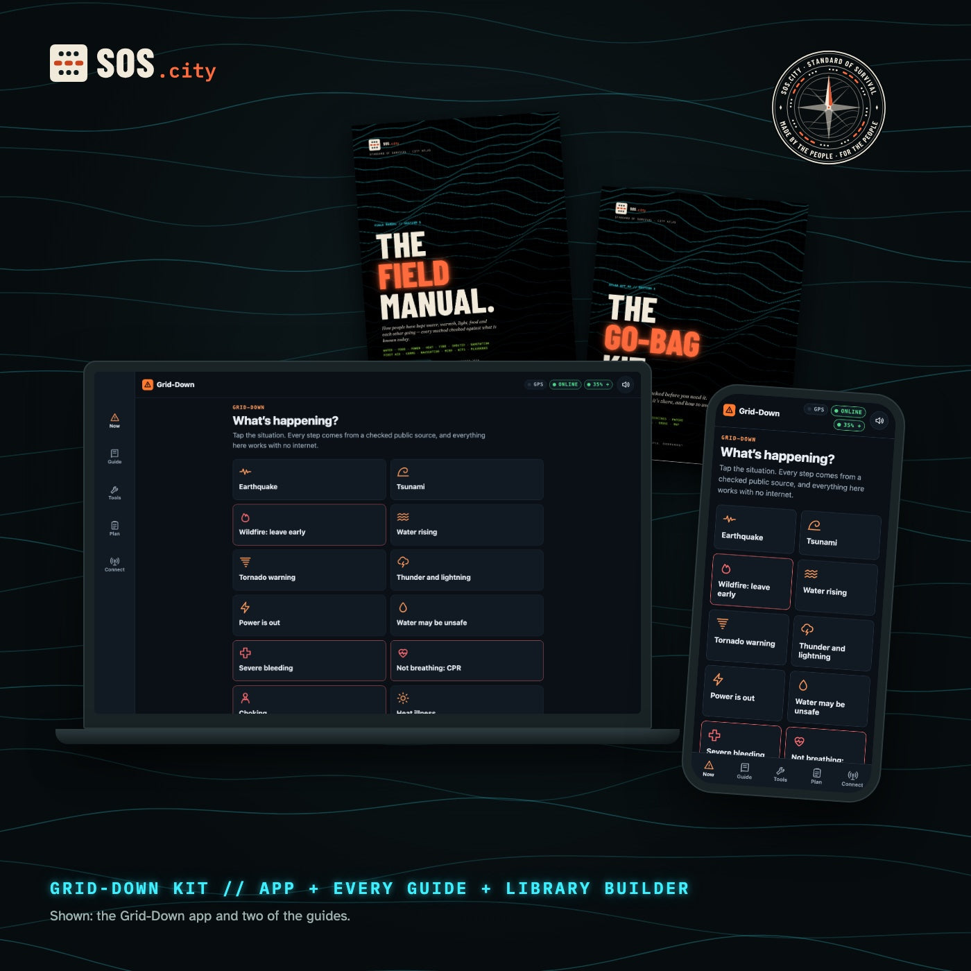
The app, every guide, the offline AI setup and the library builder. You build the drive.
- Grid-Down app for every phone and computer
- The Field Manual + all kit guides, print and night editions
- Library builder: Wikipedia, medical, manuals, maps of your state
- Offline AI setup guide
- Mac and Linux builder; Windows download list
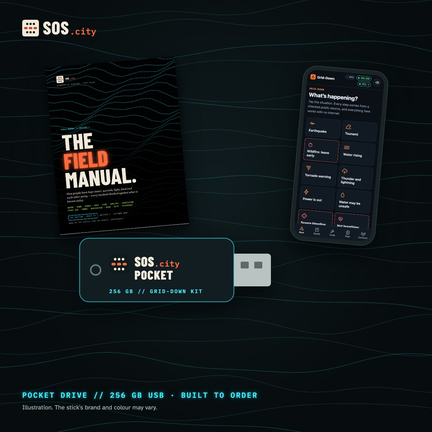
Everything in the Digital Kit, already built and checked on a 256 GB USB stick, with your state’s map data.
- Everything in the Digital Kit
- 256 GB stick, about 180 GB loaded
- All of English Wikipedia with images
- Offline street map of the US + your state
- Offline AI model files, ready to run
- Built and verified to order, shipped to you
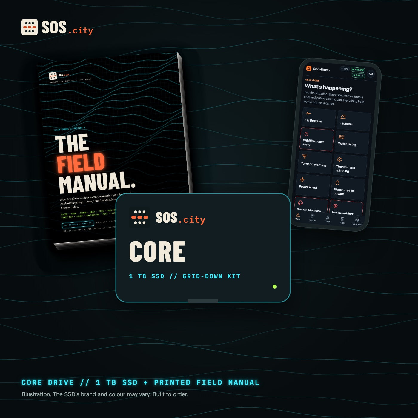
The Pocket library plus every USGS topo map, elevation and water data for your state on a 1 TB SSD, and the printed Field Manual.
- Everything in the Pocket Drive
- 1 TB SSD with room for your own files
- Every USGS topo sheet for your state
- Elevation + water data, whole-US map data
- Printed Field Manual included
- Built and verified to order, shipped to you
Compare everything
| Digital | Core | ||
|---|---|---|---|
| Grid-Down app (phone + computer, no internet) | ✓ | ✓ | ✓ |
| The Field Manual, Go-Bag Kit, 72-Hour Atlas, First 72 Hours (PDF) | ✓ | ✓ | ✓ |
| Offline library: Wikipedia with images, medical, manuals, Q&A | You build it | Loaded | Loaded |
| Offline street map of the US | You build it | Loaded | Loaded |
| Your state: OpenStreetMap data | You build it | Loaded | Loaded |
| Your state: every USGS topo sheet, elevation, water data | You build it | — | Loaded |
| Offline AI (open-licensed Qwen models + llama.cpp) | You build it | Loaded | Loaded |
| Reader apps for Mac, Windows, Linux, Android (with source) | You build it | Loaded | Loaded |
| Drive | Your own | 256 GB USB stick | 1 TB SSD |
| Printed Field Manual | Add-on | Add-on | Included |
| Delivery | Instant download | Built and verified to order, ships in 5–10 business days | |
Four layers. Each one works alone.
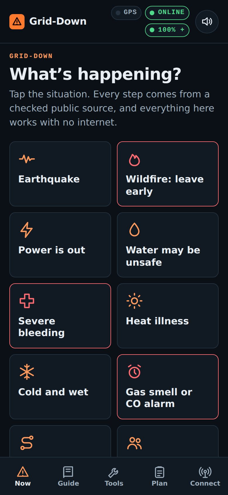
One file that runs in any phone or computer browser with no internet. Twelve “what’s happening” situations, the full guide, tools like bleach amounts and the fridge clock, a private family plan.
All of English Wikipedia with images, WikiMed, WikEM, public-release Army and FEMA manuals, the USDA canning guide and expert Q&A on repair, gardening, cooking and radio.
An offline street map of the US, OpenStreetMap data for your state and, on Core, every USGS topo sheet for your state. Plus paper skills: map, compass, sun and stars.
Small open-licensed models that run on a laptop or newer phone with no connection. Good for finding your way around a topic. It can be wrong, so the guides say how to check it.
Find your way without a signal.
Towers go down in big disasters. Batteries run out. The sky and a paper map still work. Our guides teach the old skills, step by step.
Print them. Or read them in the dark.
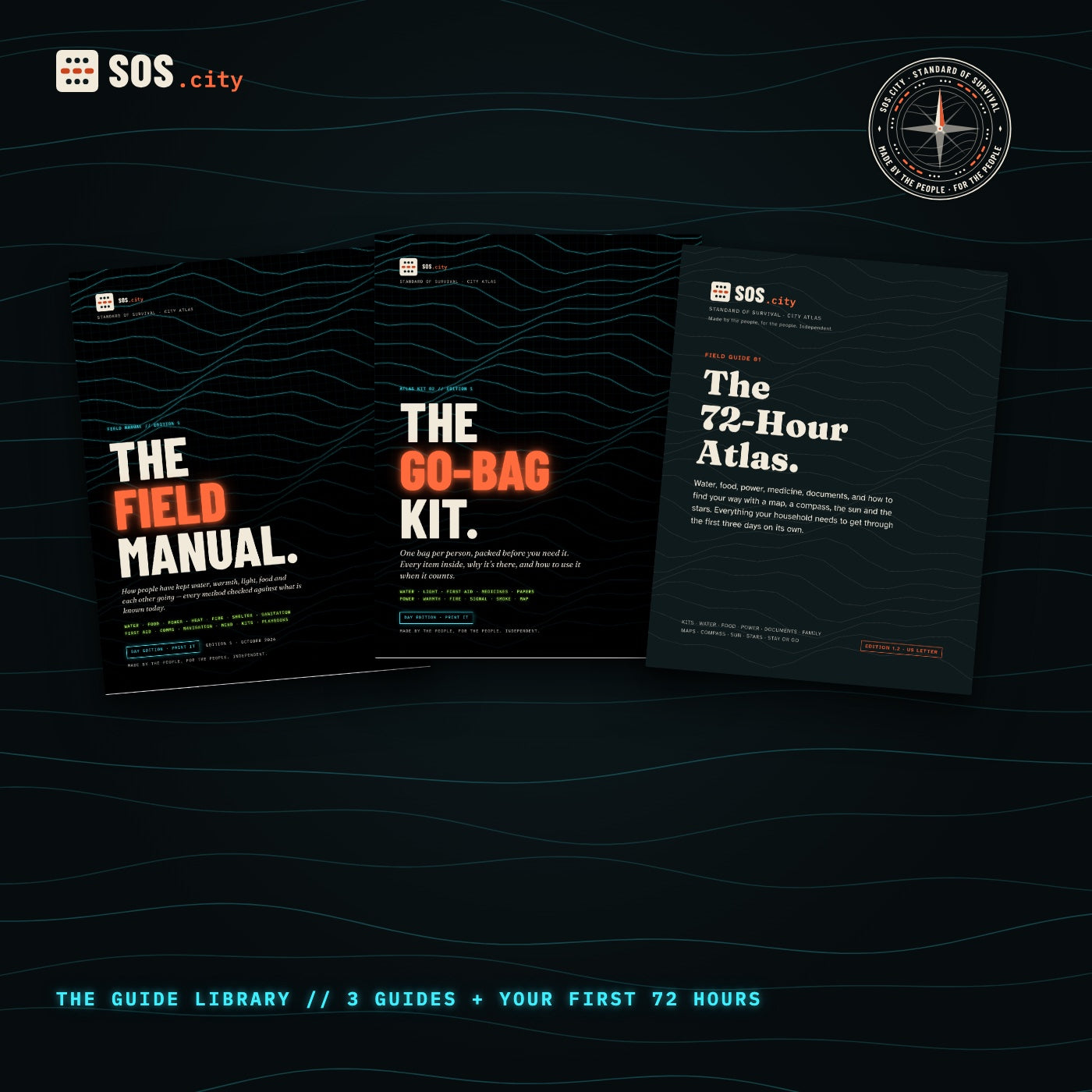
Day editions to print (US Letter and A4, sized to print at 100%). The Field Manual and The Go-Bag Kit also come in a Night edition with glowing text, for your phone in a blackout.
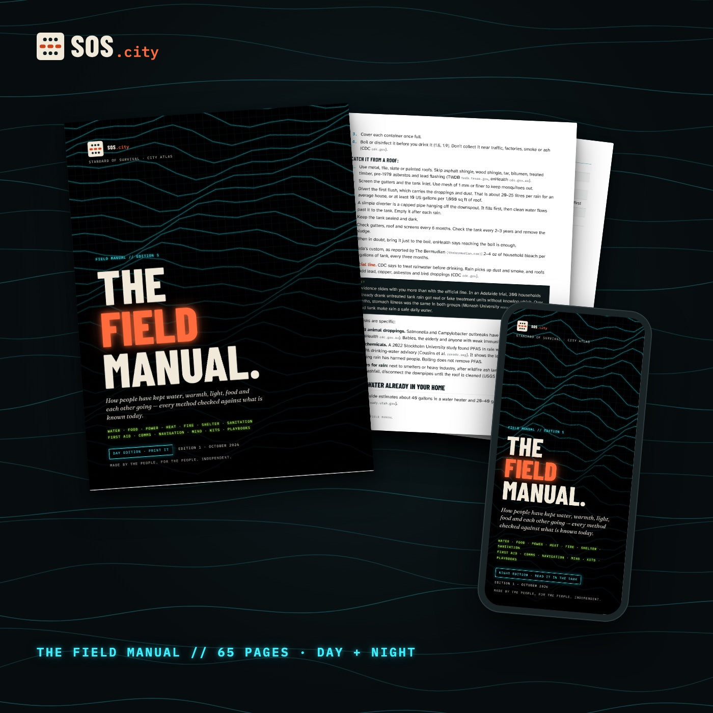
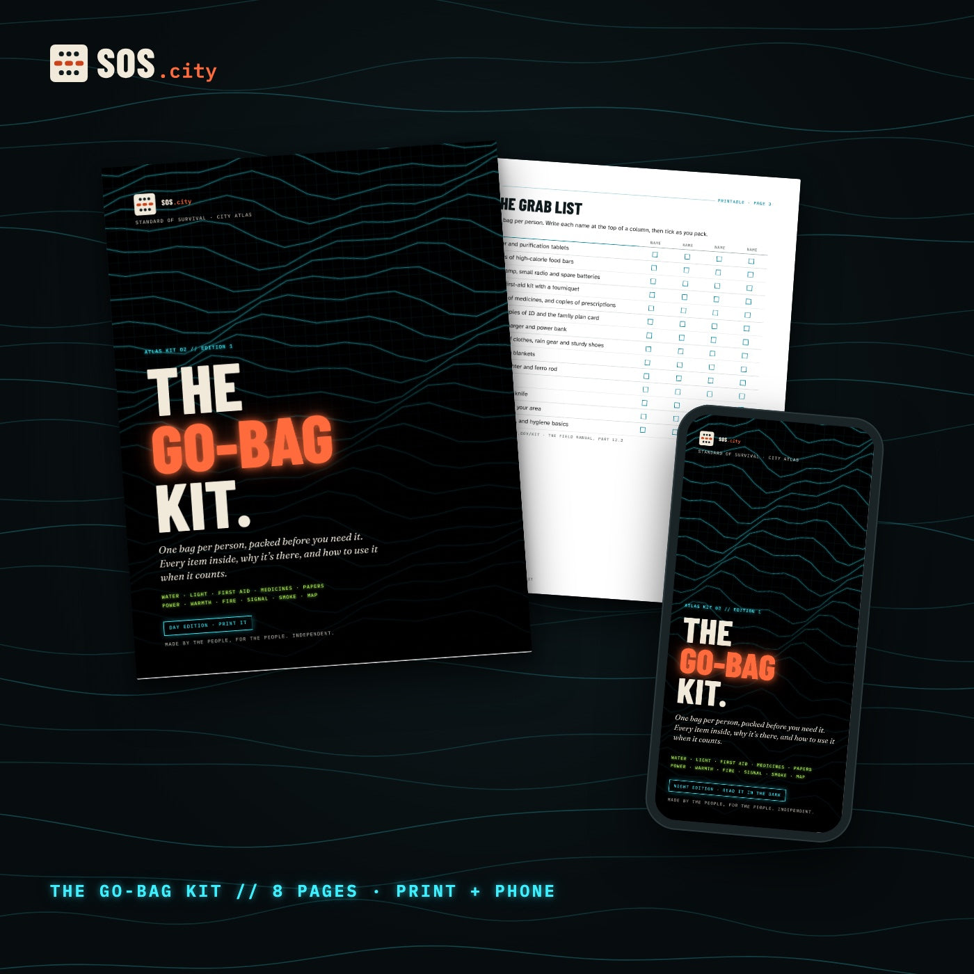
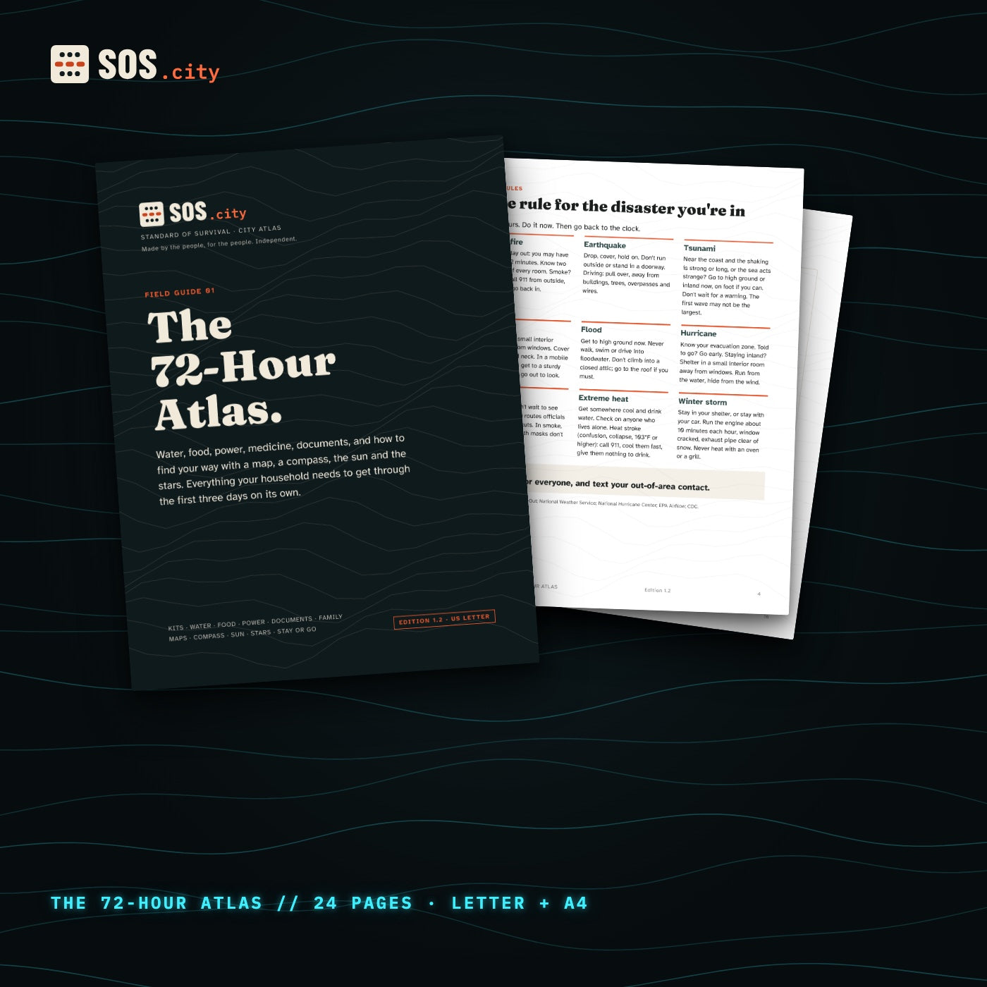
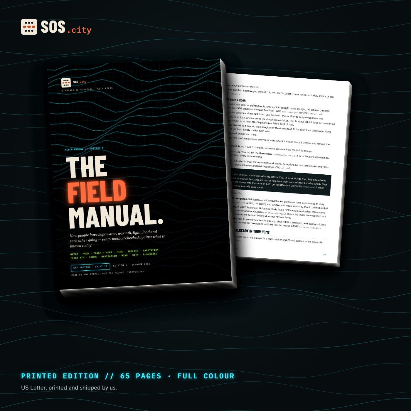
Paper never runs out of battery.
We print The Field Manual and The 72-Hour Atlas in full colour on US Letter and mail them to you. Each comes with the PDF editions too.
Printed and shipped by us in the US. Ships in 5–10 business days.
Every disaster leaves behind a rule.
We tell true stories of the worst days people have lived through, on YouTube every day. Each one ends with the one rule that would have saved lives. Here are ten of them.
The SOS.city Atlas. Complete edition.
Every true story from the files, one chapter per disaster, with the full Field Manual and every kit, in one printed book. We’re writing it now.
- Reserve free. No card, no obligation.
- Founders get 30% off the launch price.
- First copies go to founders, in the order you reserved.
We’ll only email you about the Atlas and new guides. Unsubscribe any time.
Calm, sourced, actually useful.
- Sourced. Every rule and number comes from FEMA, the CDC, the National Weather Service, USGS or the Red Cross, and we list where. Where traditional methods and the agencies disagree, we say what the evidence shows.
- True stories. Real events, checked facts. Nothing invented to scare you.
- No “secrets”. Nobody is hiding survival tricks from you. We make the best advice easy to use.
- Open about what’s ours. We name every open-licensed source in the kit and its licence.
- Kept current. Every guide carries an edition date and gets updated when guidance changes.
A true disaster in about a minute on our YouTube channel, and the rule that came out of it.
Comment SURVIVAL on any film, or grab the free 72-hour guide here.
Load the kit on every phone, print the manual, put the drive in the go-bag.
Before you buy
Do I need the internet to use the kit?
Only to download it (or to build the library, for the Digital Kit). After that everything works offline: the app, the library, the maps and the AI.
What devices does it work on?
The app runs in the browser of any phone or computer. The library opens with the free Kiwix reader on Mac, Windows, Linux, Android, iPhone and iPad. The drives are formatted exFAT so all of them can read it. On phones, use a USB-C or Lightning adapter, or copy the smaller files onto the phone. The library builder in the Digital Kit runs on Mac and Linux; Windows users get a download list.
Is the drive a Wi-Fi hotspot?
No. It’s a drive you plug into a laptop or phone. A laptop can share the whole library over Wi-Fi to every phone nearby; the Start Here guide shows how.
How good is the offline AI?
It’s a small open-licensed model that runs on your own device. It’s useful for finding your way around a topic and drafting, and it makes mistakes. Always check numbers and safety steps against the printed guide. It is not a doctor.
Where does the advice come from?
Official public-safety sources: Ready.gov (FEMA), the CDC, EPA, the National Weather Service, USGS and the American Red Cross, plus peer-reviewed research where it matters. Sources are listed in every guide. This is general preparedness information. In an emergency, follow your local officials and call 911.
When will my drive or printed copy ship?
We build, check and print each order ourselves. Expect it to ship in 5–10 business days. If we ever can’t meet that, we’ll email you a new date and you can cancel for a full refund.
What if it’s not for me?
Email us within 30 days and we’ll refund you. Drives and printed copies: send them back within 30 days for a full refund.
Who makes SOS.city?
People, for people. SOS.city is independent: no city, agency or government is behind it. It is made by the team behind the WormHoleHQ channel, where we tell true disaster stories every day, and the guides are the long version of the rule at the end of each film. Government agencies are our sources, never our sponsors.
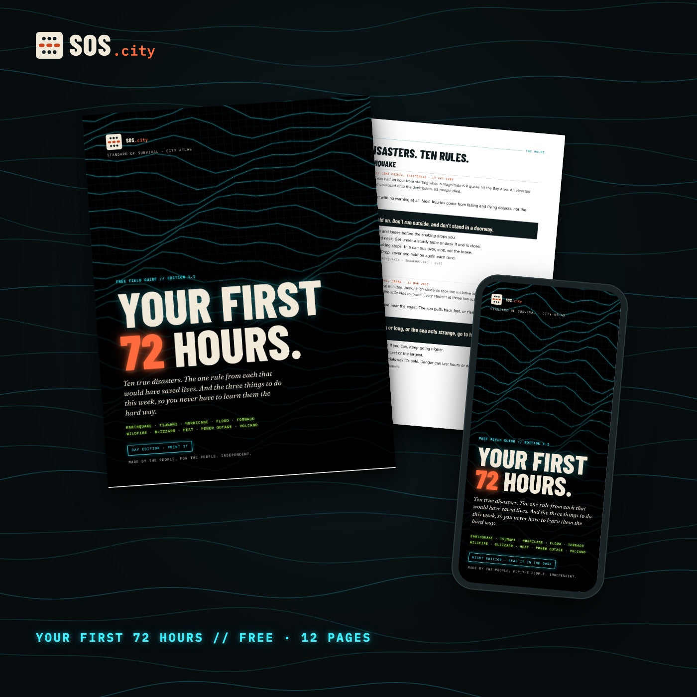
Your First 72 Hours.
Ten true disasters, the one rule from each, and the three things to do this week. Day and Night editions.
Get it free →